22 Million-Year-Old Volcanic Eruption Reveals Slow Andes Mountain Formation
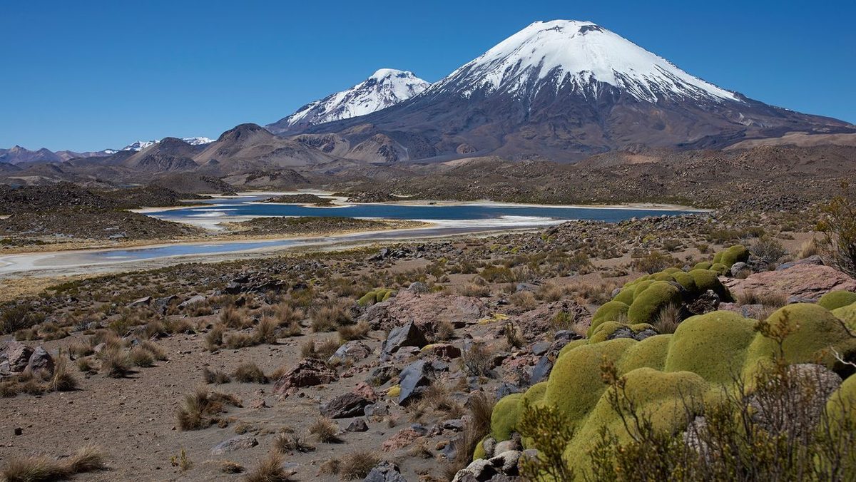
Introduction
A colossal volcanic eruption, occurring approximately 22 million years ago in what is now northern Chile, has provided scientists with an unprecedented glimpse into the nascent stages of the Andes mountain range. This event, akin to the eruption that buried Pompeii, preserved a vast landscape under a thick layer of volcanic material known as ignimbrite. A recent study, published in the prestigious journal Science Advances, leverages this geological snapshot to challenge previous theories about the Andes' formation, suggesting a more gradual uplift than some models propose.
Key Details
- Event: A massive volcanic eruption originating from the Lauca Caldera in northern Chile, 22 million years ago.
- Preservation Mechanism: The eruption produced a pyroclastic flow, a superheated surge of gas, ash, and rock, which blanketed the landscape in ignimbrite.
- Discovery: Analysis of the ignimbrite deposit allowed researchers to infer the pre-eruption topography.
- Key Finding: The uplift rate of the crust in the region prior to the eruption was estimated to be no more than 0.16 miles (0.26 kilometers) per million years.
- Methodology: Researchers combined analysis of the volcanic deposit's shape with models of river erosion and crustal uplift.
- Lead Author: Byron Adams, a geomorphologist at University College London.
- Publication: Science Advances, September 11, 2026.
Background
The Andes, the longest continental mountain range in the world, are formed by the complex geological process of subduction, where the oceanic Nazca Plate is forced beneath the continental crust of South America. The exact timeline and rate of the Andes' growth have been a subject of considerable scientific debate. Some theories suggest a prolonged period of slow, steady uplift spanning tens of millions of years, while others propose a more rapid, more recent uplift phase. Understanding this geological history is crucial for comprehending the region's seismic activity, resource distribution, and past climate.
Impact Analysis
The study, led by geomorphologist Byron Adams of University College London, utilized the ignimbrite layer as a geological time capsule. By examining the thickness and flow patterns of the ignimbrite, and by modeling how rivers would have shaped the landscape before the eruption, the team was able to reconstruct the topography hidden beneath. Their findings indicate that the landscape buried by the eruption consisted of gentle foothills, not the dramatic, craggy peaks that might be expected if the mountains were already well-developed. Crucially, the calculated uplift rate of less than 0.16 miles per million years provides strong evidence against rapid, recent mountain building in this specific region and time period.
“Pompeii shows how volcanic eruptions can freeze a moment in human history,” stated Byron Adams. “This study shows that much larger eruptions can also freeze moments in Earth history, burying whole landscapes beneath volcanic deposits and preserving clues to how mountains were being built before the eruption.”
Broader Context
This research contributes to a larger scientific endeavor to accurately date and understand the rates of mountain formation across the globe. The method employed—using volcanic deposits to infer pre-existing landscapes and tectonic activity—is a powerful tool that can be applied to other geological settings. The comparison to Pompeii is apt, as both events, though vastly different in scale and consequence, offer invaluable frozen moments in time. While Pompeii preserves human life and Roman civilization, this Andean eruption preserves the geological processes that shape our planet over immense timescales.
Future Outlook
The researchers suggest that this methodology could be extended to investigate other large ignimbrite deposits worldwide, potentially resolving similar debates about mountain formation rates in different regions. Further research could involve more detailed geochemical analysis of the ignimbrite and underlying rocks to refine the timing of the eruption and the uplift rates. Understanding these slow geological processes is fundamental for long-term geological hazard assessment and for reconstructing past environments and climates, which have implications for understanding current climate change.
Conclusion
The 22-million-year-old volcanic eruption in Chile, acting as a natural geological archive, has provided compelling evidence supporting a slow and steady model for the formation of the Andes mountains. The study by Byron Adams and colleagues, published in Science Advances, refines our understanding of tectonic uplift rates and demonstrates the power of using large-scale volcanic events to unlock secrets of Earth’s deep past. This finding challenges rapid uplift hypotheses and reinforces the view that major geological features can evolve over vast stretches of time.
Source: livescience.com